Category:水路学
自動衝突予防援助装置
Automatic radar plotting aid
水深測量
Bathymetry
チャートプロッター
Chartplotter
ナビコ
Navico
測深儀
Sounding lead
羅針儀海図
Portolan chart
水路観測所

電子海図情報表示装置
Electronic Chart Display and Information System電子海図装置

沿岸測量部
Office of Coast Survey
水路部 (日本海軍)

水路部

水路業務法
ナビオニクス
Navionics
国家海洋局
State Oceanic Administration
日本水路協会
-5b137.jpg)
水路学
Hydrography
音響測深
Echo soundingCTD
CTD (instrument)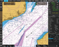
航海用電子海図
Electronic navigational chart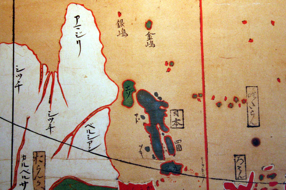
大洋水深総図
General Bathymetric Chart of the Oceans
水路図誌
OpenSeaMap
OpenSeaMapレイマリン
Raymarine Marine Electronics英国水路部
United Kingdom Hydrographic Office
マルチビーム音響測深
Multibeam echosounder
海図
Nautical chart
海洋情報部