Category:測地学
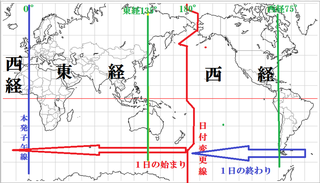
子午線
Meridian (geography)▲1 trends
ポールシフト
Cataclysmic pole shift hypothesis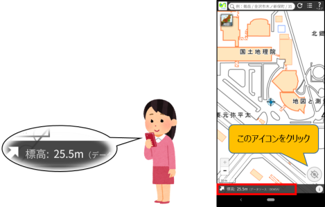
標高
Elevation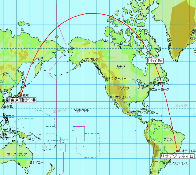
大圏コース
Great-circle navigation
国際地球回転・基準系事業
International Earth Rotation and Reference Systems Service基準系
Frame of reference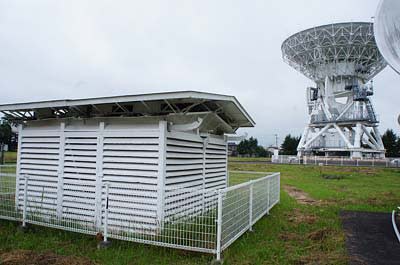
Z項

フランス科学アカデミーによる測地遠征
French Geodesic Mission to the Equator
ムーニエの定理
Meusnier's theorem
国際レーザー測距事業
重力測定
Gravimetry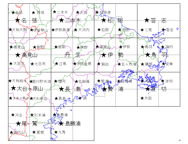
国際緯度観測所
International Latitude Service
国際VLBI事業
東南アジアの基準点網
頂上
Summit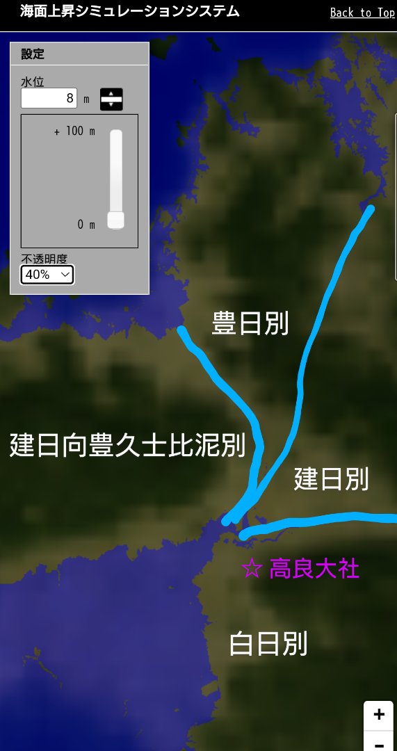
海面地形
Ocean surface topography
地球の軌道
Earth's orbit
オイラーの定理 (微分幾何学)
Euler's theorem (differential geometry)
地球情報学
Geoinformatics
DORIS (衛星測位システム)
DORIS (satellite system)
チャンドラー・ウォブル
Chandler wobble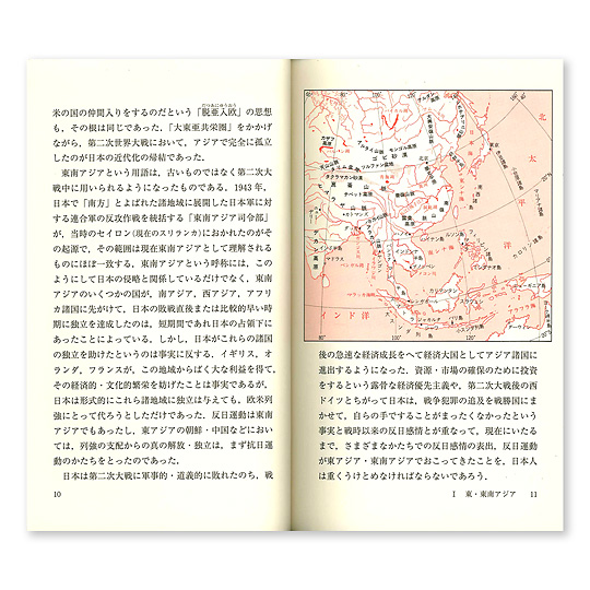
中国における地理的データの制限
Restrictions on geographic data in China
国際測地学協会
International Association of Geodesy
ヘイフォード楕円体
Hayford ellipsoid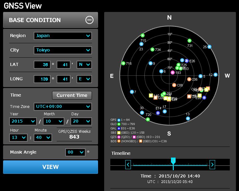
国際GNSS事業
国際測地学・地球物理学連合
International Union of Geodesy and Geophysics
測地学
Geodesy
回照器
Heliotrope (instrument)