Category:測地学
測地学
Geodesy
オイラーの定理 (微分幾何学)
Euler's theorem (differential geometry)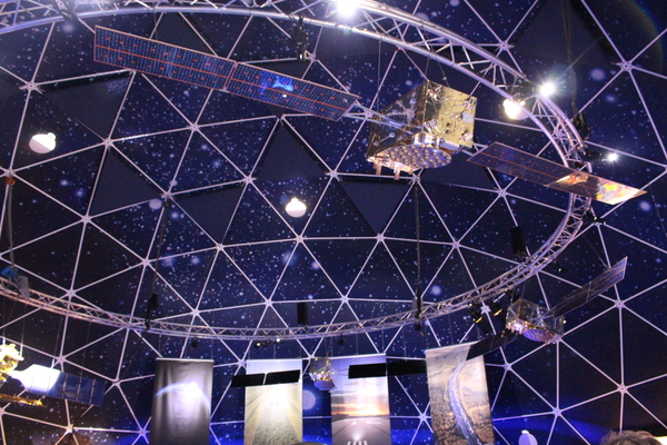
DORIS (衛星測位システム)
DORIS (satellite system)
チャンドラー・ウォブル
Chandler wobble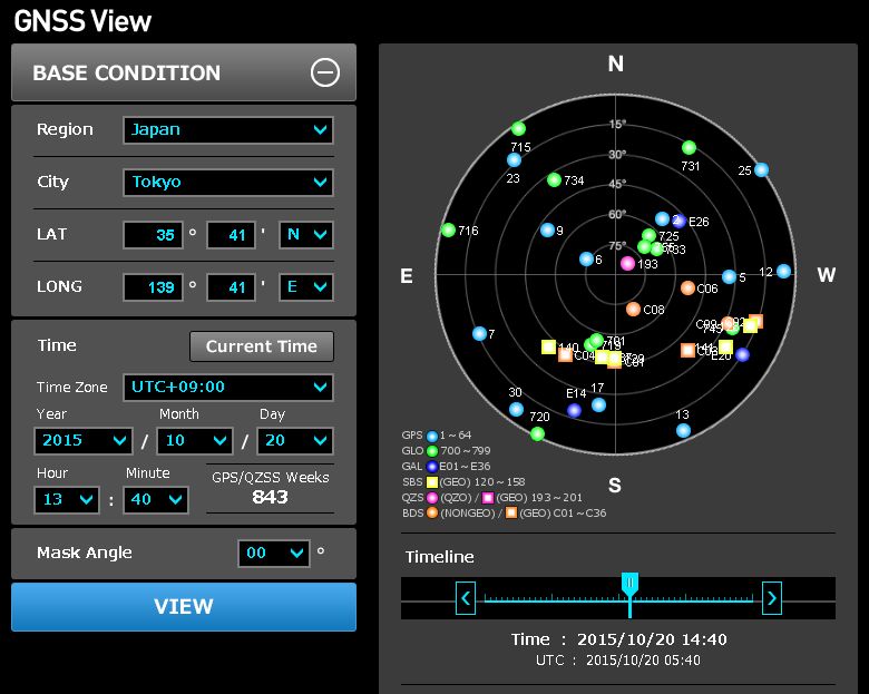
国際GNSS事業

国際測地学協会
International Association of Geodesy
ヘイフォード楕円体
Hayford ellipsoid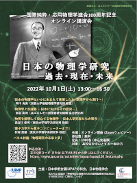
国際測地学・地球物理学連合
International Union of Geodesy and Geophysics
地理極
Geographical pole
回照器
Heliotrope (instrument)
国際緯度観測所
International Latitude Service
地球情報学
Geoinformatics
ムーニエの定理
Meusnier's theorem
重力測定
Gravimetry測地学者
Geodesist
国際地球回転・基準系事業
International Earth Rotation and Reference Systems Service
フランス科学アカデミーによる測地遠征
French Geodesic Mission to the Equator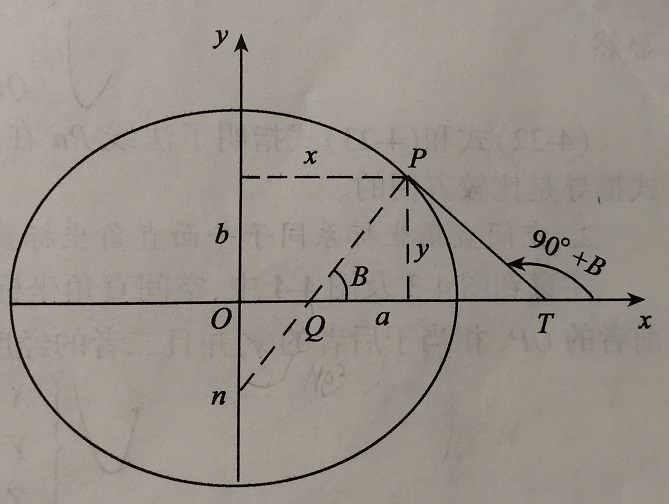
卯酉線
Prime vertical
Metashape
Metashape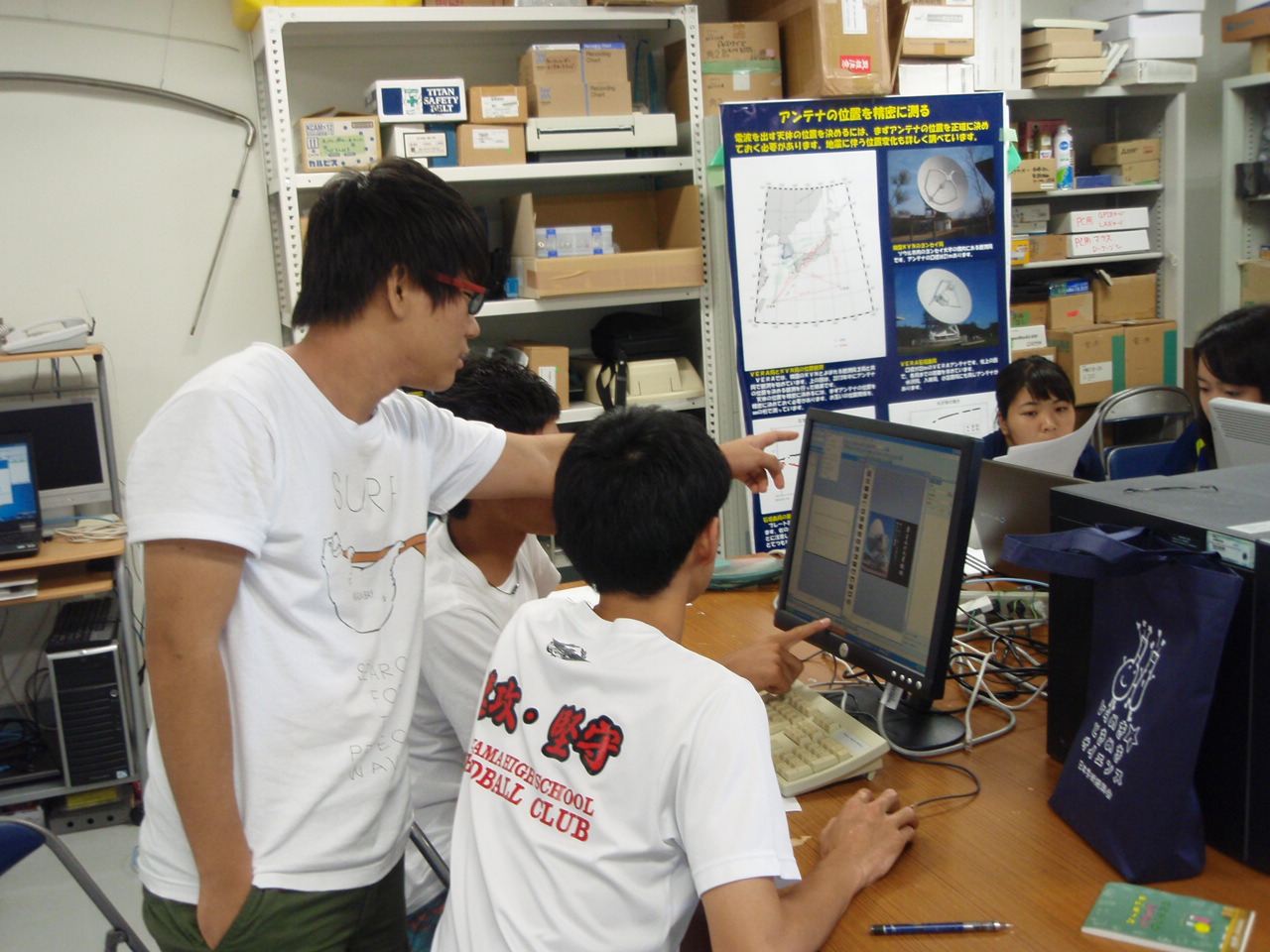
水沢VLBI観測所
頂上
Summit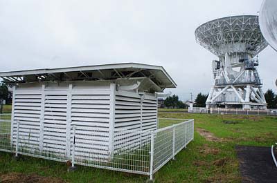
Z項

国際DORIS事業
▼-1 trends日本測地学会
▼-1 trends
ポールシフト
Cataclysmic pole shift hypothesis
グローバル・ポジショニング・システム
Global Positioning System