Similar to 高度道路交通システム
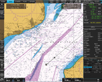
航海用電子海図
Electronic navigational chart
航空機用救命無線機
国際GNSS事業

国際DORIS事業
▼-1 trends
GPX
GPS Exchange Format
ジオキャッシング
Geocaching
ジオタギング
Geotagging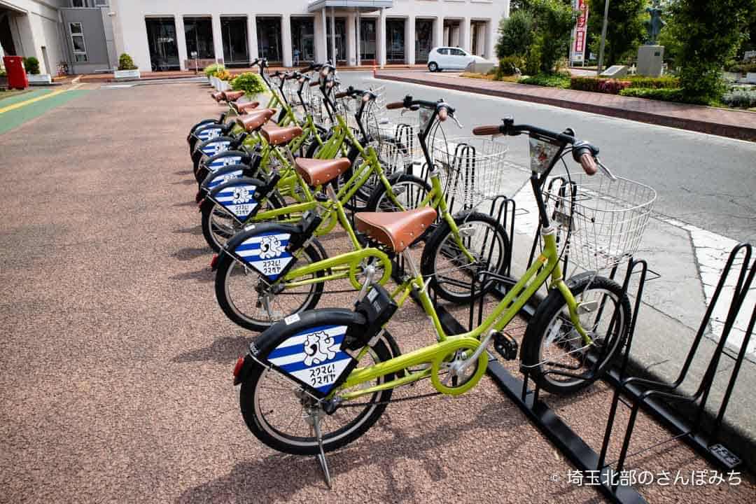
自転車シェアリング
Bicycle-sharing system
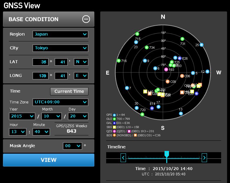
準天頂衛星システム
Quasi-Zenith Satellite System▲2 trends
スポット (通信機器)
SPOT Satellite Messenger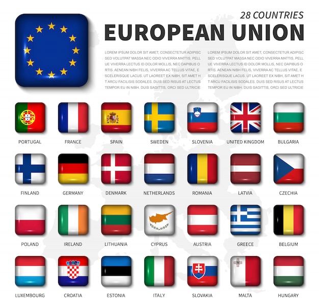
欧州連合宇宙計画局
European Union Agency for the Space Programme
チャートプロッター
Chartplotter
電子海図情報表示装置
Electronic Chart Display and Information System電子海図装置

電子監視
Electronic tagging
電子基準点
電波航法
Radio navigationトランシット (人工衛星)
Transit (satellite)
DORIS (衛星測位システム)
DORIS (satellite system)
ナビエリート

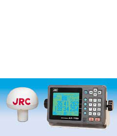
非常用位置指示無線標識装置
Emergency position-indicating radiobeacon
北斗衛星導航系統
BeiDou
RINEX
RINEXレイマリン
Raymarine Marine Electronics
ネオス (情報・通信業)

精密単独測位
Precise Point Positioning
方向探知
Direction finding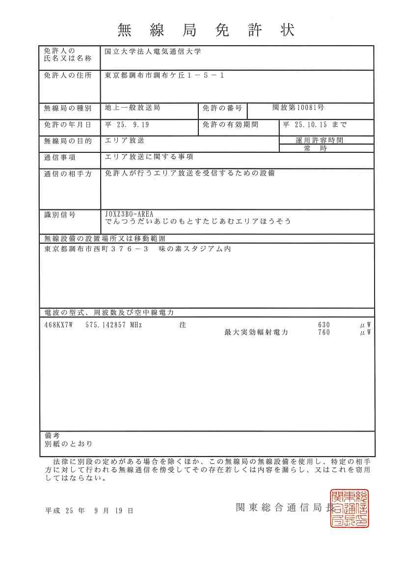
無線測位局