Similar to OpenDroneMap

航空測量
Aerial survey航空レーザー測量
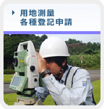
工事測量
Construction surveying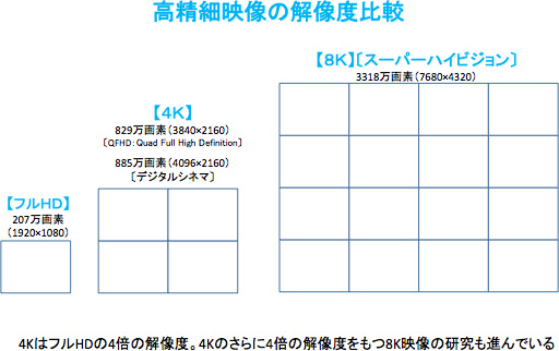
高精度地図
High-definition map
光波測距儀
Laser rangefinder
公有地測量システム
Public Land Survey System
国際測量者連盟
International Federation of Surveyors
国土地理院
Geospatial Information Authority of Japan
国家座標

相模野基線
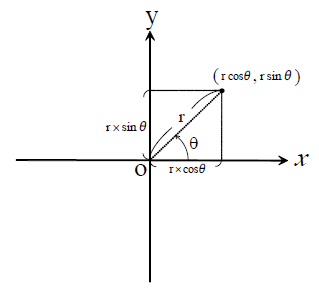
座標
Coordinate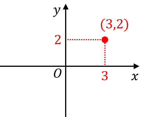
座標法
Shoelace formula
サーベイヤー
Surveyor (disambiguation)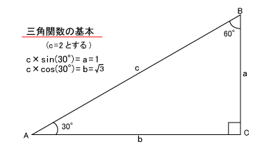
三角測量
Triangulation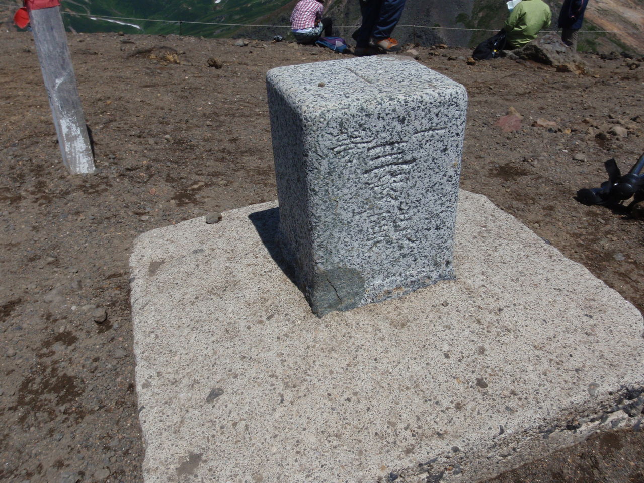
三角点
Triangulation station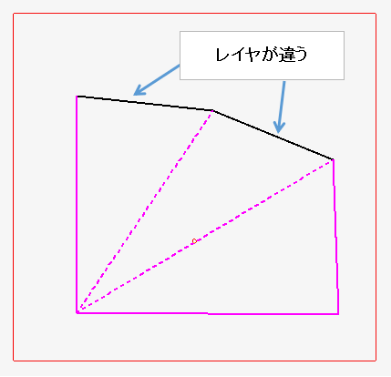
三斜法
頂上
SummitGRS80
Geodetic Reference System 1980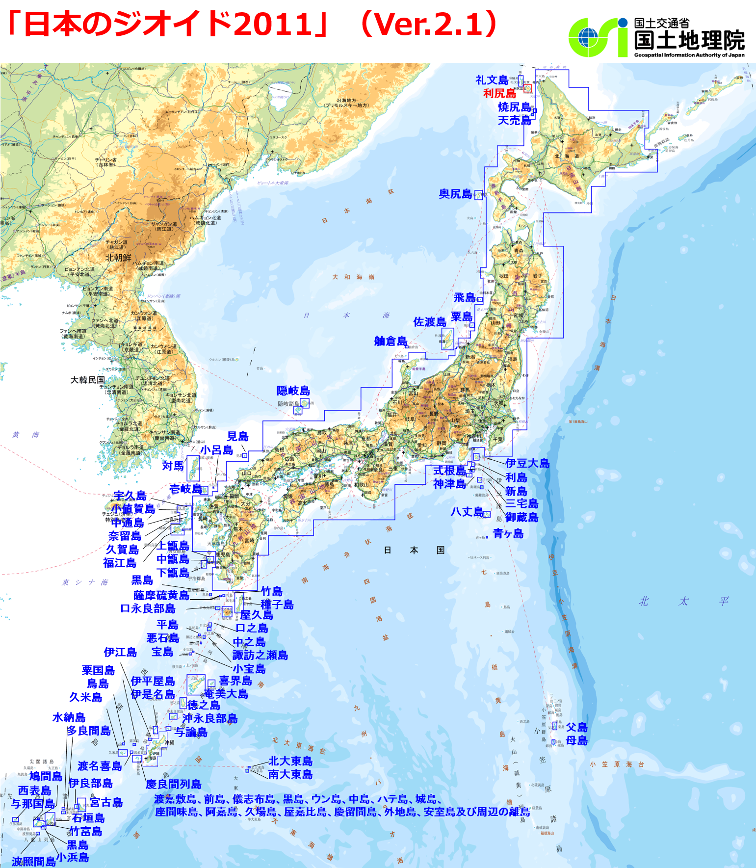
ジオイド
Geoid▲1 trends
子午線弧
Meridian arc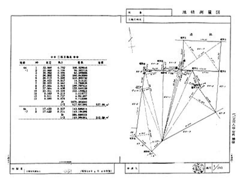
実測図

写真測量法
Photogrammetry
シュトルーヴェの測地弧
Struve Geodetic Arc
職業訓練指導員 (測量科)
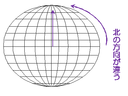
真北方向角
水準器
Spirit level
水準点
Benchmark (surveying)
水深測量
Bathymetry
